The Lake That Fell Into a Hole
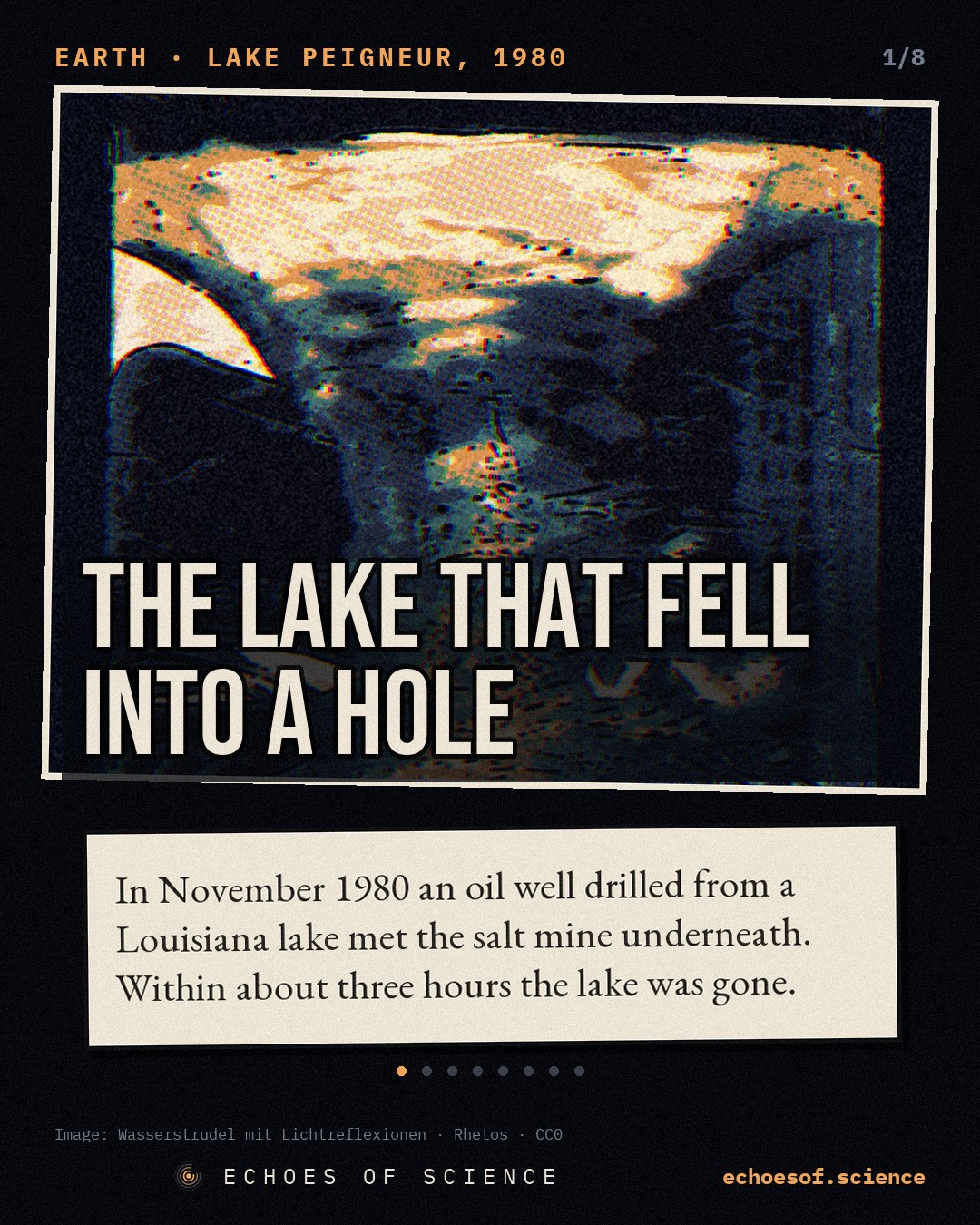
In November 1980 an oil well drilled from a Louisiana lake met the salt mine underneath. Within about three hours the whole lake had gone down into the mine, and the canal to the sea ran backwards.
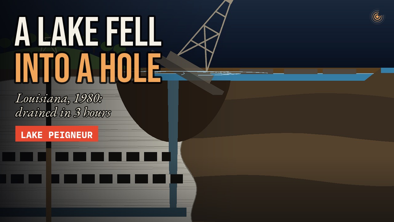 Premieres on YouTube Saturday 14 November, 17:00 UTC · subscribe to get it
1,300 feet underground, in a salt mine in Louisiana, an electrician named Junius Gaddison hears a noise that should not be there. It is a little after eight in the morning on Thursday, 20 November 1980.
He walks towards it, and finds water. Muddy water, running across the floor of a tunnel that has been bone dry for 60 years.
Above his head, on the surface, there is a lake. A shallow, peaceful lake, with fishing boats, a drilling rig, and a garden of live oaks along its shore.
By the afternoon, that lake will be gone. All of it. Drained away like a bath with the plug pulled, and it will take the drilling rig with it.
And then a canal that had always flowed to the sea will run backwards.
Nobody will die. But how does a lake fall into a hole? And why could a federal investigation never say whose fault it was?
An Island Made of Salt
Lake Peigneur lies in Iberia Parish, about 120 miles west of New Orleans, in flat, wet country of bayous, rice fields and sugar cane. Before 1980 it was barely 10 feet deep: a freshwater lake for fishing and for boats.
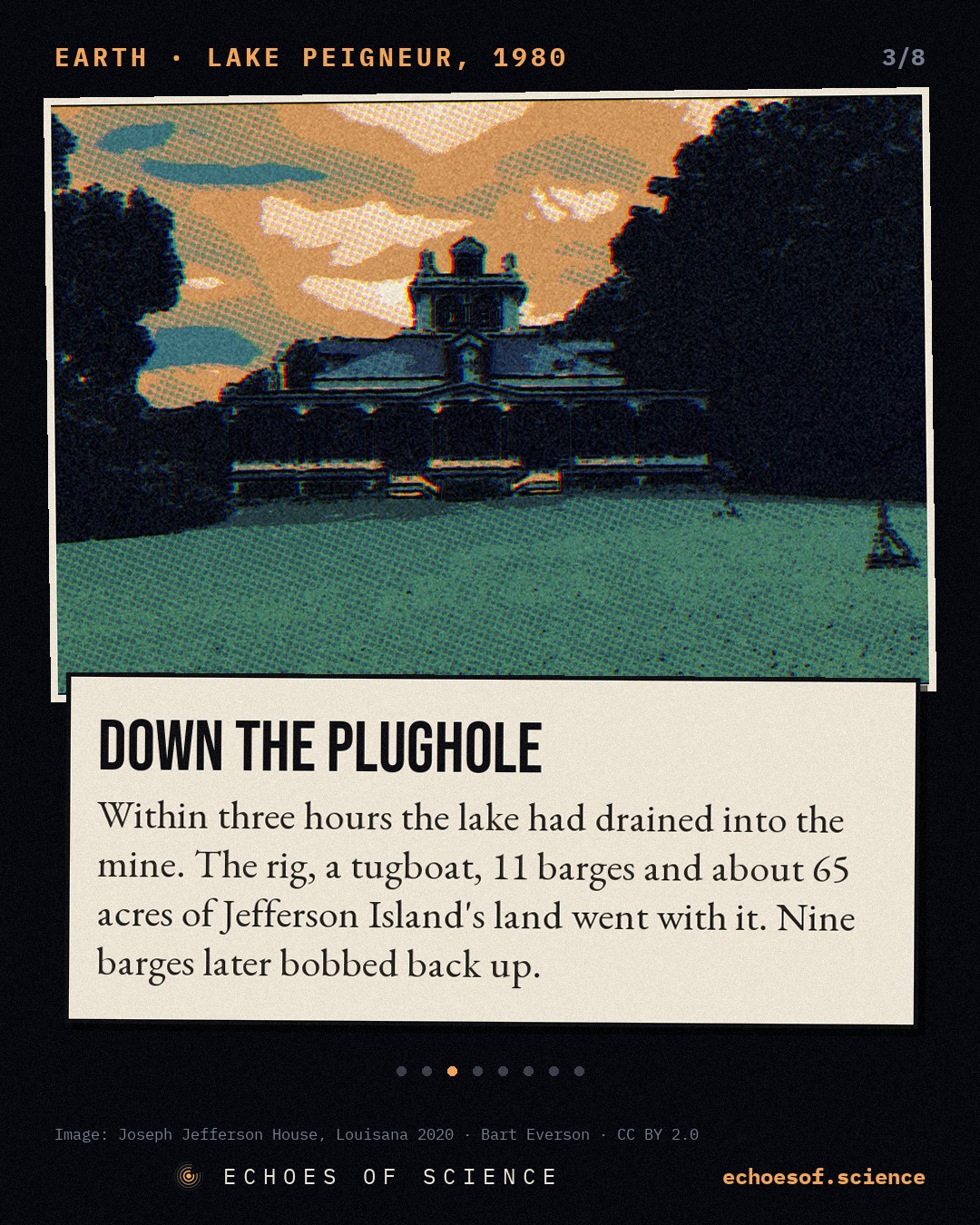
On its eastern shore, the land rises into a low, round hill. It is called Jefferson Island, although it is not an island at all. In 1869, the actor Joseph Jefferson, famous for playing Rip Van Winkle on stage, bought it to hunt and fish. A year later he built a house there.
Later owners planted gardens around the house, with azaleas, camellias and huge live oaks hung with moss. Visitors came to walk among them, and to look out over the quiet lake.
But the hill had a secret. Jefferson Island is one of 5 low hills along this coast that Louisianans call the Five Islands. And every one of them sits on top of a gigantic column of salt.
To understand what happened, we go back about 160 million years, to the Jurassic. North and South America were pulling apart. Sea water flooded the gap, and in the heat it evaporated, again and again, leaving layer after layer of salt.
Geologists call it the Louann Salt. Over millions of years it was buried under thousands of feet of mud and sand, pressed down and squeezed.
And here is the strange thing. Under that kind of pressure, rock salt does not behave like a rock. It creeps and flows, like very slow putty. And it is lighter than the sediments piled on top of it.
So wherever the weight above it is uneven, the salt is squeezed upwards, and finds its way towards the surface in huge plugs. Geologists call them salt domes. Some are a mile or two across, and reach down for miles.
The Gulf Coast has more than 500 of them. The most famous is Spindletop, in Texas, where in 1901 a gusher of oil from the edge of a salt dome started the modern oil age. The reason is simple. When salt pushes up through the layers, it bends them, and traps oil and gas along its sides.
So under Jefferson Island there were two kinds of treasure. Salt, which you could mine. And, perhaps, oil, hidden in the rocks along the flanks of the dome. In 1980, two companies were after them both, in the very same place.
The Cathedrals Under the Lake
Salt had been mined under Jefferson Island since at least 1919. In 1956, the Diamond Crystal Salt Company took over the mine, and by 1980 almost 300 people worked there, underground and in the mill.
From the surface, a shaft dropped straight down through the dome. Off it, the miners had cut whole floors of tunnels, at 800, 1,000, 1,300 and 1,500 feet down, with ramps going deeper still.
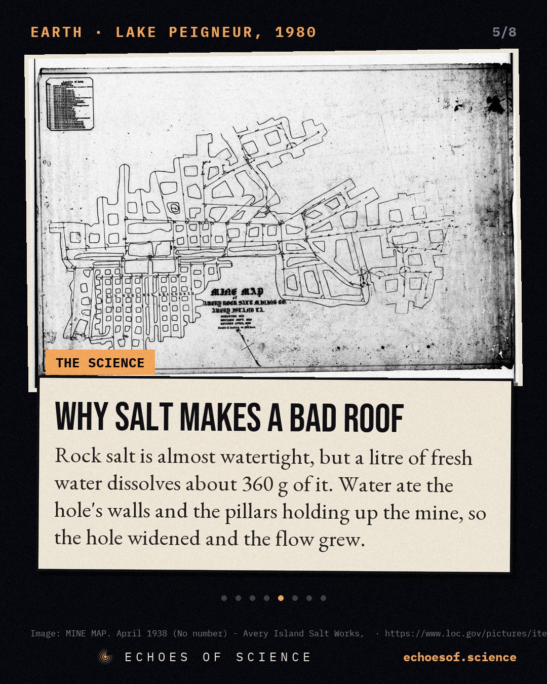
These were not cramped coal tunnels. Salt mines are dug as rooms and pillars. The miners blast out huge rooms, and leave square columns of solid salt standing to hold up the roof. Some tunnels here were about 100 feet wide and 80 feet high. Big enough to drive trucks through. Big enough to hide a cathedral.
And they were dry. That is the remarkable thing about salt. It is almost completely watertight. A salt dome can sit under a swamp, or under a lake, for millions of years, and the water never gets in.
Unless you make a hole. Because there is one thing salt cannot survive, and that is fresh water. A single litre of fresh water can dissolve about a third of a kilo of salt. The salt that held up the roof of the mine would melt away like sugar in tea.
So the whole mine depended on one simple rule. Keep the lake out. And a few hundred yards away, out on the lake, a drilling crew was about to make a hole.
The Well
The oil company Texaco held a state lease to drill under the lake. Its contractor, Wilson Brothers, towed a drilling rig on barges out onto the water, about 2,000 feet from the mine's main shaft.
The plan was to drill down alongside the salt dome, not into it. On paper, the well would pass about 100 feet outside the edge of the salt, all the way down to almost 8,000 feet, looking for the oil trapped along the flank.
They started drilling on the evening of 18 November. By the next evening the hole was nearly 1,000 feet deep. Everything was routine.
Then, in the small hours of the 20th, at about 1,230 feet, the drill stopped. The pipe was stuck fast, and would not turn or pull free. And the drilling mud stopped coming back up. That is the heavy fluid pumped down the hole to cool the bit and carry away the rock. It was going somewhere.
The crew heard popping sounds. The strain on the pipe climbed above 400,000 pounds. And then the platform itself began to lean.
The rig crew did the sensible thing. They cut the barges loose, and they got off the rig. Whatever was swallowing their mud, it was right below them. And right below them, there were people.
Thirteen Hundred Feet Down
Before seven that morning, the day shift had gone down into the mine as usual. 48 miners, and 3 visitors from Louisiana State University. About 50 people, most of them on the deepest level, 1,500 feet below the surface.
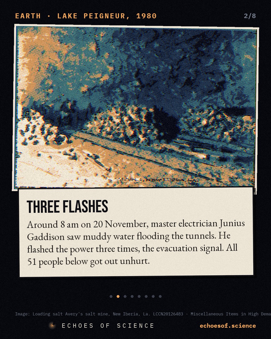
A little after eight, on the 1,300-foot level, the master electrician, Junius Gaddison, saw a stream of muddy water advancing along the tunnel floor.
He did not wait to find out where it came from. He warned the men nearby and the shift foreman. Then he went to the power switch and flicked it, off and on, three times. The lights all over the mine blinked. It was the signal everyone had practised for. Get out.
There were no fatalities.
That is how the official report would put it, months later. But it was not luck. When the regular phones went dead, a miner kept the evacuation moving from the emergency phone in a refuge chamber. A maintenance foreman, Randy LaSalle, drove a truck through the far tunnels to warn men who had not seen the lights.
There was only one way out: the cage, the lift in the main shaft. It made 4 trips. By about 9 o'clock, every single person who had been underground was standing on the surface, in the daylight. Nobody had been hurt.
Behind them, in the dark, the water was rising. And on the lake above, something was beginning to turn.
The Whirlpool
From the shore, people watched the surface of the lake begin to rotate. Slowly at first, and then faster, until there was a whirlpool, about a quarter of a mile across, with a hole at its centre where the water was pouring down into the earth.
The drilling rig tilted over, and was pulled under. One by one, the barges went after it. A tugboat fought the current until its crew gave up and jumped onto the bank. A fisherman out on the lake turned his boat towards the shore, and made it.
Then the land began to go. The edge of Jefferson Island slid into the lake: trees, lawns, part of the gardens. In all, about 65 acres of ground disappeared into the crater.
Deep below, the water was pushing out the air trapped in the tunnels. It came roaring up the mine shafts, and witnesses reported jets of air and spray hundreds of feet high. One of them compared it to the eruption of Mount Saint Helens.
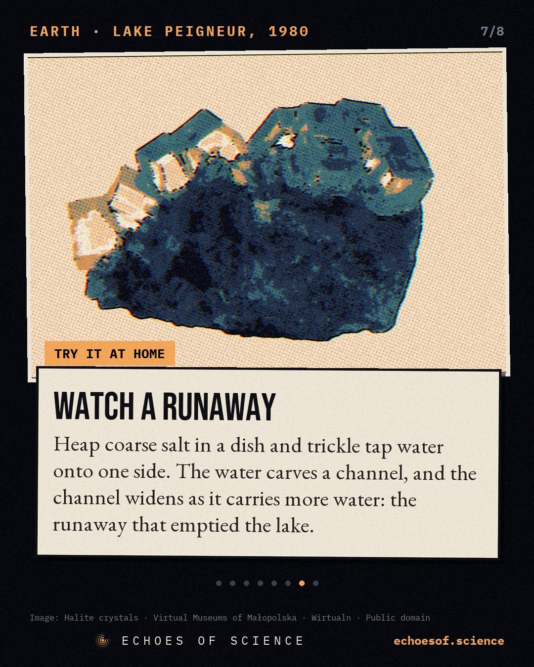
And here is what turned a leak into a disaster. Every second, fresh water flowed past the walls of the hole and dissolved more salt. The hole got wider. A wider hole let in more water, which dissolved even more salt. A runaway loop.
The salt pillars holding up the old tunnels were dissolving too. As they weakened, roofs collapsed, the crater grew, and the lake emptied faster still. Within about 3 hours, a lake of more than 1,000 acres had drained away.
Then came the strangest sight of all. Lake Peigneur drains to the sea through the Delcambre Canal, about 12 miles to Vermilion Bay and the Gulf of Mexico. Now the lake bed was empty, and far below sea level.
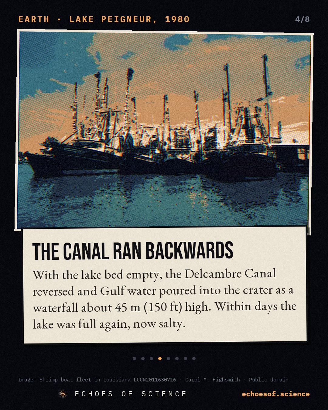
So the canal reversed. Salt water from the Gulf began to run back up the canal, and poured over the rim of the crater as a waterfall about 150 feet high. Around 30 shrimp boats in the canal were left stranded on the mud.
For about two days the sea kept coming, until the crater and the mine below it were full. And then the lake was back. Not the lake it had been, but a new one: deeper, and salty.
And a few days later, 9 of the 11 sunken barges popped back up to the surface, like corks, after their trip through the mine. The drilling rig never came back.
How Do We Know?
So who did it? The first answer seemed obvious. The drill had hit the mine. A Texaco spokesman admitted at the time that the bit may have entered a shaft.
But proving it was another matter. The federal Mine Safety and Health Administration investigated for months. It had the drillers' logs, the mine maps, the survey of the well, and the statements of everyone who had been there that morning.
If the maps were right, the drill should have stayed outside the salt. So either the well was not where Texaco thought it was, or the mine's edge was not where the maps said. Or both. And the one piece of evidence that could have settled it was the hole itself. It now lay at the bottom of a flooded, collapsed mine, under a new lake.
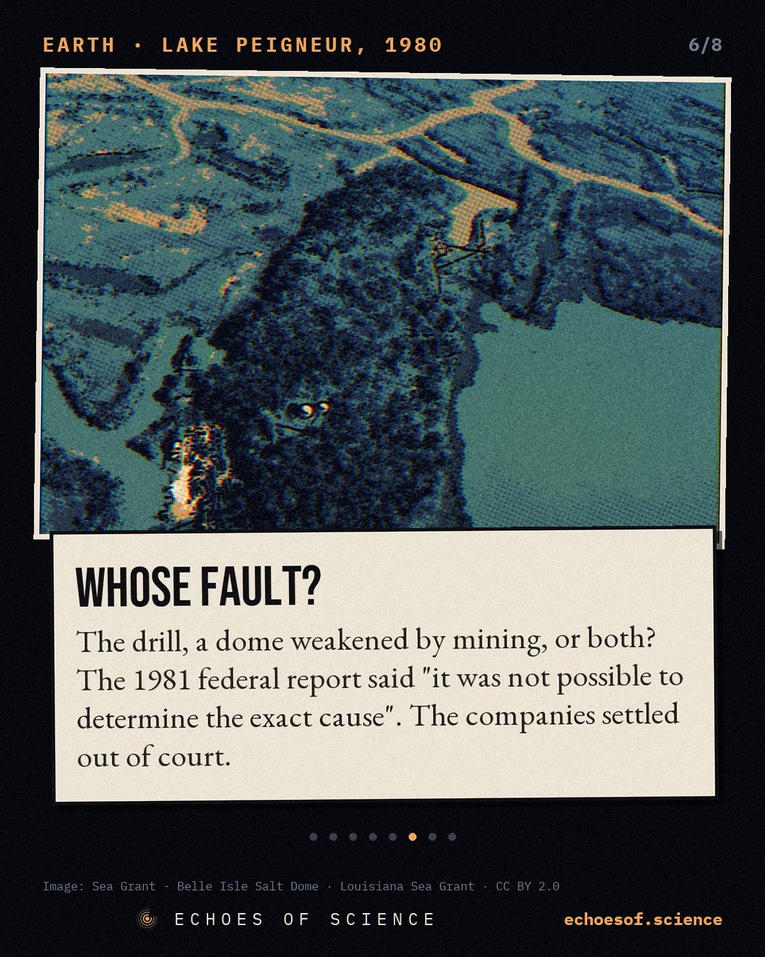
The report also raised another possibility. Salt creeps. After 60 years of mining, the dome around the old tunnels had been slowly deforming, and earlier engineering studies had warned about weak zones near the edge. Perhaps the drill only came close to a weak spot, and the pressure did the rest.
The report was published in August 1981. Its conclusion is one sentence.
It was not possible to determine the exact cause of the inundation.
The investigators could not even say which came first: whether the drill broke into the mine, or whether the mine was already failing when the drill got stuck.
The courts never had to decide either. In 1983, Texaco and the drilling contractor settled with Diamond Crystal for $32 million. And the three companies paid $12.8 million to the owners of the gardens. Out of court. Nobody was ever officially found to blame.
What the report did do was write rules. Drillers and miners should sit down together and put their planned holes on the same map as the tunnels. Mine maps must be kept up to date and shared. Old workings need water alarms. Simple things. The kind that only look obvious afterwards. And yet the strangest legacy of Lake Peigneur was still to come: the very thing that wrecked the mine would become a tool.
Why It Matters Today
The Jefferson Island mine never reopened. But salt domes did not go out of fashion. If anything, they matter more now than ever.
If fresh water dissolves salt, you can use it on purpose. Drill a well into a salt dome, pump fresh water down, and pump the brine back out. Slowly, you hollow out a cavern, and because salt is watertight, that cavern can hold almost anything.
This is how the United States stores its emergency oil. The Strategic Petroleum Reserve sits in about 60 salt caverns in Louisiana and Texas, each one roughly 200 feet wide and half a mile tall, with room for more than 700 million barrels.
Since 1994, natural gas has been stored in caverns in the very same salt dome, under Jefferson Island. And in Utah, salt caverns have been built to hold hydrogen made with renewable electricity, enough to store about 300 gigawatt hours of energy. A giant battery, made of salt.
But Lake Peigneur is a reminder that the walls of these caverns are only as safe as what we know about them. In August 2012, at Bayou Corne, about 50 miles away, the wall of a brine cavern in another salt dome failed. A sinkhole opened in the swamp and swallowed trees whole. About 350 people were told to leave their homes. The hole is still growing, and covers more than 30 acres today.
And here, science learned something. NASA's radar plane had flown over the area a year earlier, and again a month before the collapse. The ground had already been moving, by up to 10 inches, towards the spot where the sinkhole would open.
Satellites and aircraft can now watch for this kind of creeping movement from above. It will not stop salt from dissolving. But it might give the next Junius Gaddison more warning than a stream of muddy water across a tunnel floor.
Epilogue
Today, Lake Peigneur looks peaceful again. Boats cross it, herons fish along the shore, and the gardens on Jefferson Island are open to visitors. But it is a different lake now: brackish instead of fresh, and in places far deeper than it ever was.
Somewhere below it lie a drilling rig, 2 barges, and the dark tunnels where about 50 people once worked, now full of salt water. They got out because one man took a stream of mud seriously, and because everyone knew what three flashes of light meant.
46 years ago, a lake fell into a hole. No single mistake did it. Two maps that did not quite agree, and a rock that is only solid while it stays dry.
Next time: the first hack in history, in 1834, when two bankers broke into the French state telegraph. And on our website, you can drain Lake Peigneur yourself.
The science in this story
Key facts
- Shortly after 8 am on 20 November 1980, master electrician Junius Gaddison saw muddy water on the mine's 1,300-foot level and flashed the power switch on and off three times, the evacuation signal. source ↗
- All 51 people underground (48 miners and three LSU visitors) were hoisted out in four cage trips; nobody in the mine was hurt. source ↗
- "Within the next three hours, the entire lake disappeared into the mine" (MSHA, 1981); the Delcambre Canal then flowed back into the crater. source ↗
- The rig, a tugboat, 11 barges and about 65 acres of land went down; nine barges later resurfaced; the reversed canal made a waterfall of about 150 ft. source ↗
- Jefferson Island is one of south Louisiana's 'Five Islands' salt domes; salt was mined there from at least 1919, and Diamond Crystal bought the mine in 1956. source ↗
- MSHA concluded that 'it was not possible to determine the exact cause of the inundation'; the companies settled out of court. source ↗
- A litre of fresh water dissolves about 360 g of salt, which let the opening widen and the flow grow. source ↗
- The US Strategic Petroleum Reserve is stored in about 60 solution-mined salt caverns. source ↗
In pictures

Loading the quiz…
Sources
- MSHA, Report of Investigation: Jefferson Island Mine Inundation, Nov 20, 1980 (1981)
- 64 Parishes: Lake Peigneur Drilling Accident (J. Gautreaux)
- US DOE: SPR storage sites · NASA JPL: 'That sinking feeling' (2014)
- Wikipedia: Lake Peigneur, Salt dome, Louann Salt, Bayou Corne sinkhole
Where every picture, clip and sound in this story comes from
Keep scrolling: more true stories ↓
New mini-documentaries every week and a true story every day. Pick where you like to watch:
▶ Subscribe on YouTube Telegram TikTok Instagram Bluesky Threads ✉ Weekly email