The Oil Prospectors Who Found the Dinosaur Killer
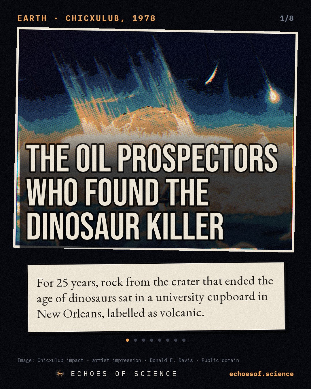
While hunting for oil for Mexico's state company Pemex in 1978, geophysicists Glen Penfield and Antonio Camargo found a buried ring 180 km wide under the Yucatán coast and suspected an impact crater. Colleagues laughed, Pemex called it volcanic, their 1981 talk drew about twenty people, and it took a journalist's tip and forgotten drill samples in a New Orleans closet to confirm the crater that ended the age of dinosaurs.
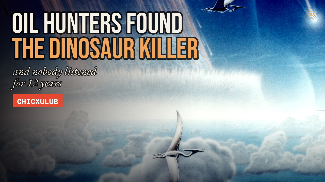 Premieres on YouTube Sunday 15 November, 17:00 UTC · subscribe to get it
In 1978, a small survey plane flew back and forth over the sea north of Mexico's Yucatán Peninsula. 450 metres up, on lines almost 300 km long, it carried an instrument that could feel the faint magnetism of the rocks, deep below.
The client was Pemex, Mexico's state oil company. It wanted oil. In the city of Mérida, a 26-year-old American geophysicist named Glen Penfield checked each day's readings. And near the coast, they began to draw something that should not have been there.
A curve. Part of an enormous circle, 180 km across, centred close to a small town called Chicxulub.
Penfield and his Pemex supervisor, Antonio Camargo, would spend years trying to get anyone to take it seriously. Their colleagues laughed. The company called it volcanic. The experts never came.
They had found the scar of the day the dinosaurs died. So why did it take a newspaper reporter, a student, and a box of rock forgotten in a closet, to prove it?
A Land Without Rivers
Fly over the north of the Yucatán, and something is missing. There are no rivers. There are no lakes. The land is a flat slab of limestone, and the rain sinks straight into it.
The water gathers underground, in caves and flooded passages. Where the roof of a cave falls in, it opens a window down to the water. In Yucatán, these windows are called cenotes.
For the Maya, cenotes were wells, and much more. They were sacred places, doorways to the underworld, where offerings were made to the gods of rain. And to this day, every drop of drinking water in the state of Yucatán comes from underground.
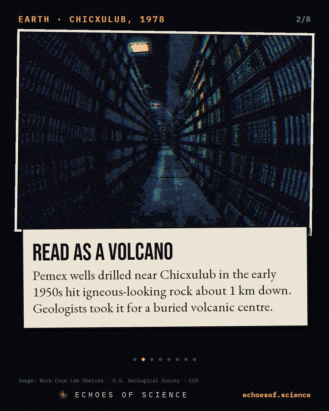
Pemex began to measure gravity across the peninsula in the 1940s, looking for buried structures where oil might gather. In the early 1950s, it drilled. Wells called Chicxulub-1 and Sacapuc-1 went down through about a kilometre of limestone, and then hit something hard, glassy and crystalline.
The geologists called it andesite, a volcanic rock. In 1975, Ernesto López Ramos, author of the standard Geología de México, described the rocks as a buried volcanic centre. It made sense. It was also wrong.
The Half-circle
In January 1978, Glen Penfield moved to Mexico, to check the data from two survey aircraft working for Pemex. It was a national survey that would grow to more than 500,000 km of flight lines, over every state in the country.
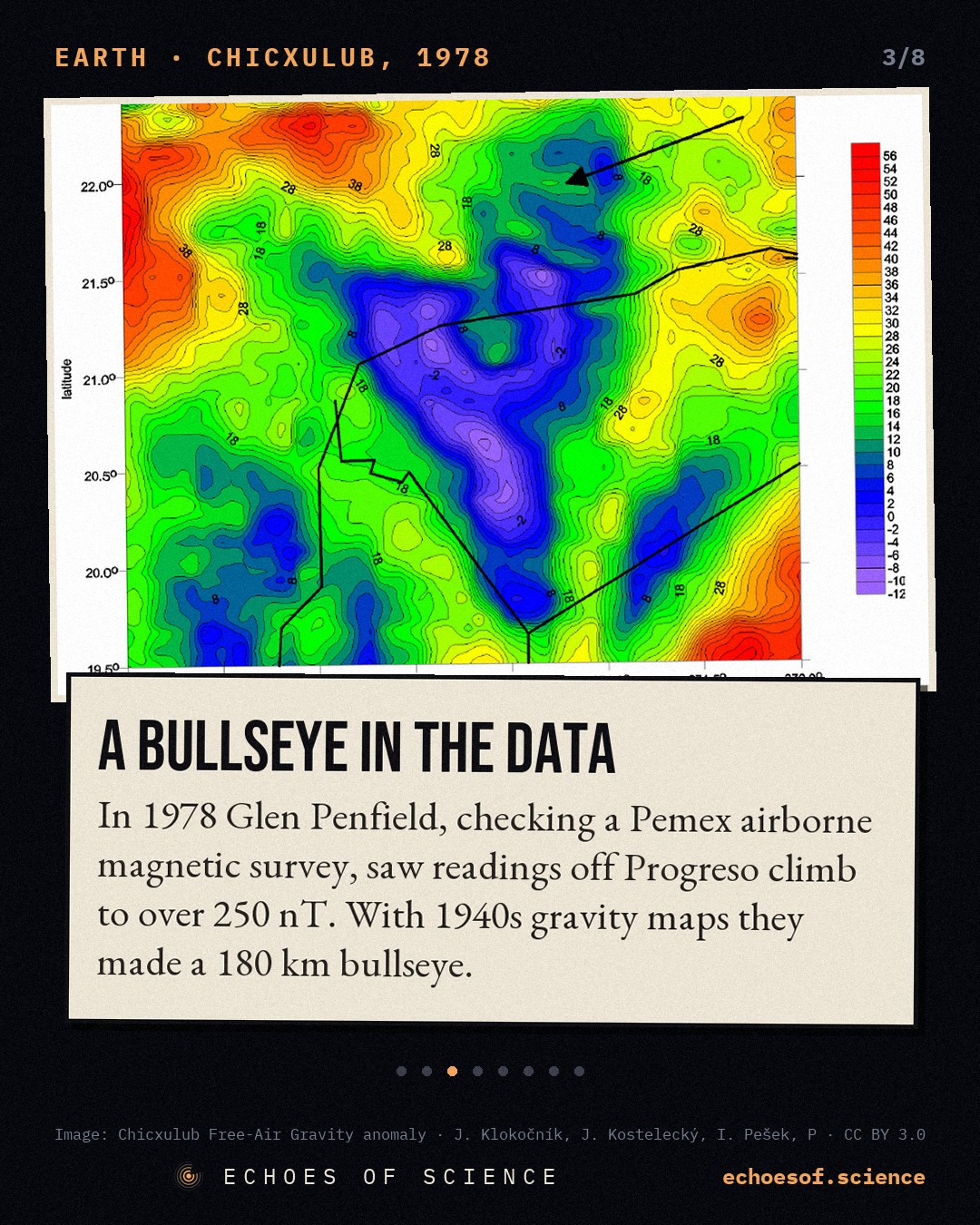
Over the Gulf, north of the port of Progreso, the magnetic field was quiet. Then two neighbouring flight lines showed a small, weak disturbance. The next day it was bigger, and it stayed centred in the same place. Closer to the coast, the anomalies grew from a few nanoteslas to more than 250.
Penfield asked Pemex for its old files from the land. The gravity maps from the 1940s showed rings as well, and they lined up with his magnetic arcs. Offshore and onshore, the two halves made one target: a bullseye 180 km wide. Years later, he described the moment:
When I put the onshore data with the offshore data, I had that kind of Ah-ha moment.
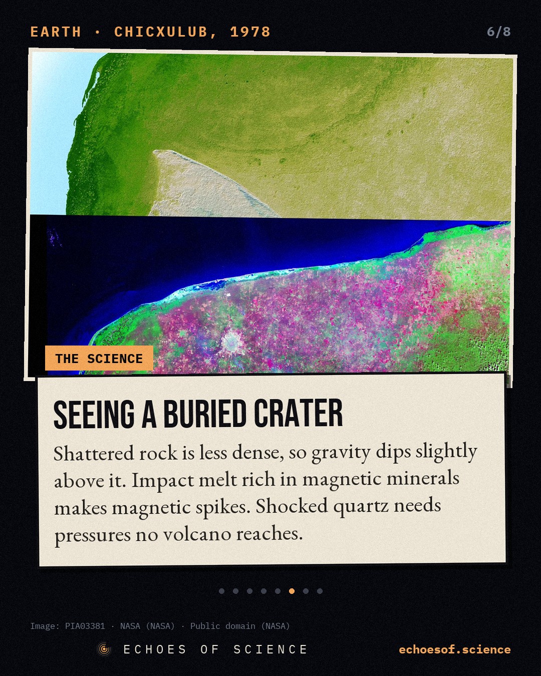
How can a plane see a crater buried under a kilometre of rock? Every rock has its own density and its own magnetism. A magnetometer measures tiny changes in the Earth's magnetic field. A gravimeter measures tiny changes in the pull of gravity. Dense rock pulls a little harder. Magnetic rock bends the field.
A giant impact smashes and melts the rock beneath it, and rearranges it in rings. Shattered, lighter rock pulls a little less. Melted rock, full of magnetic minerals, stands out like a beacon. Seen from above, a buried crater looks like a target.
In August 1978, Penfield presented his report to Pemex. As he tells it, the room laughed, and gave the idea a nickname: Glen's Sky Rock. One seismologist said he could not see any crater there. Even Camargo was not convinced at first. But he would stay with this problem for decades.
The Iridium Clue
Meanwhile, across the Atlantic, in the hills of Umbria in Italy, the geologist Walter Alvarez was studying a thin layer of clay near the town of Gubbio. It marks the end of the age of dinosaurs, the boundary between the Cretaceous and the Paleogene.
With his father, the Nobel Prize-winning physicist Luis Alvarez, and the chemists Frank Asaro and Helen Michel, he measured the rare metal iridium in that clay. Iridium is scarce in the Earth's crust, but far more common in meteorites. In June 1980, they published the result: about 30 times the normal level in Italy, 160 times in Denmark, and 20 times in New Zealand.
Their conclusion was startling. An asteroid, about 10 km across, had hit the Earth, and the dust it threw up had ended the age of the dinosaurs. It was a bold idea, and it had one enormous problem. Where was the crater?
A rock that size should leave a hole well over 100 km wide. Scientists searched for it on land and under the oceans. In Mexico, two oil men already had a candidate, 180 km wide. But nobody in the world of impact science knew.
Twenty People in Los Angeles
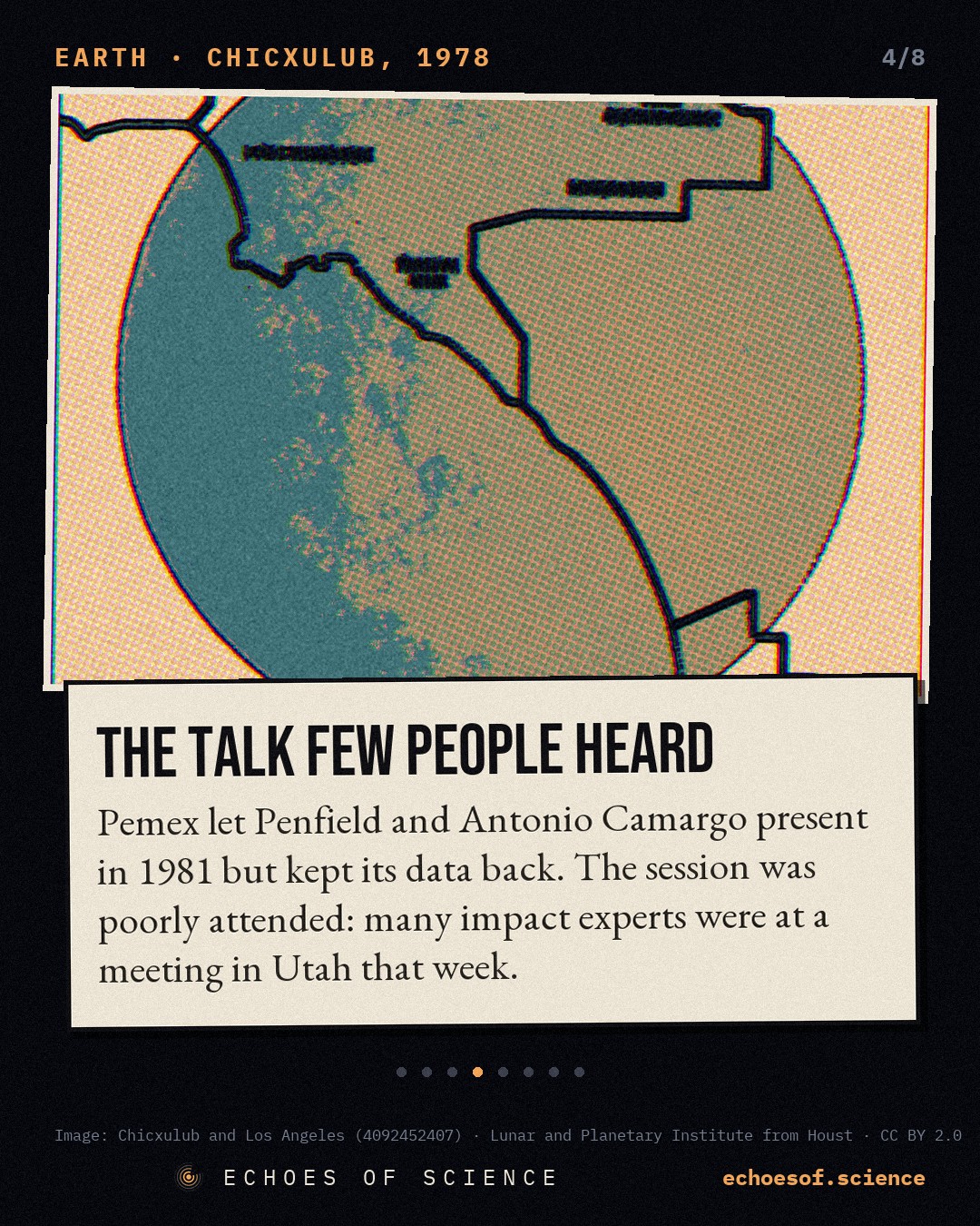
In 1981, Pemex allowed Penfield and Camargo to present their work at the meeting of the Society of Exploration Geophysicists, in Los Angeles. But it would not release its data. And, Penfield recalls, Camargo would only approve a version of the talk that left out one word: crater.
The timing was terrible. That same week, many of the world's experts on impacts and extinctions were at a conference in Snowbird, Utah, debating exactly this question. By one account, about 20 people heard the talk in Los Angeles. Penfield put it like this:
The impact people weren't following the oil exploration business.
One journalist was paying attention. Carlos Byars, a science writer at the Houston Chronicle, put the story on the paper's Sunday front page, on 13 December 1981. It did not travel far.
Penfield wanted proof: rock from the old wells. If the Chicxulub cores held shocked or melted rock, that would settle it. But the core store at Coatzacoalcos had burned. The original magnetic tapes had been recorded over. The samples, he was told, were lost. Penfield went back to his work.
For 9 years, the crater that ended the age of dinosaurs sat in the files of a Mexican oil company, while scientists around the world went on looking for it.
The Tip
By 1990, the hunt had narrowed to the Caribbean. Alan Hildebrand, a Canadian graduate student at the University of Arizona, working with William Boynton, had found a layer of impact debris in Haiti about half a metre thick, around 25 times thicker than at any other known site. Whatever made it had to be close, probably within 1,000 km.
Hildebrand's best guess was a buried basin under the Caribbean Sea, off Colombia. Then, at a planetary science conference in Houston, Carlos Byars told him about the buried circle in the Yucatán.
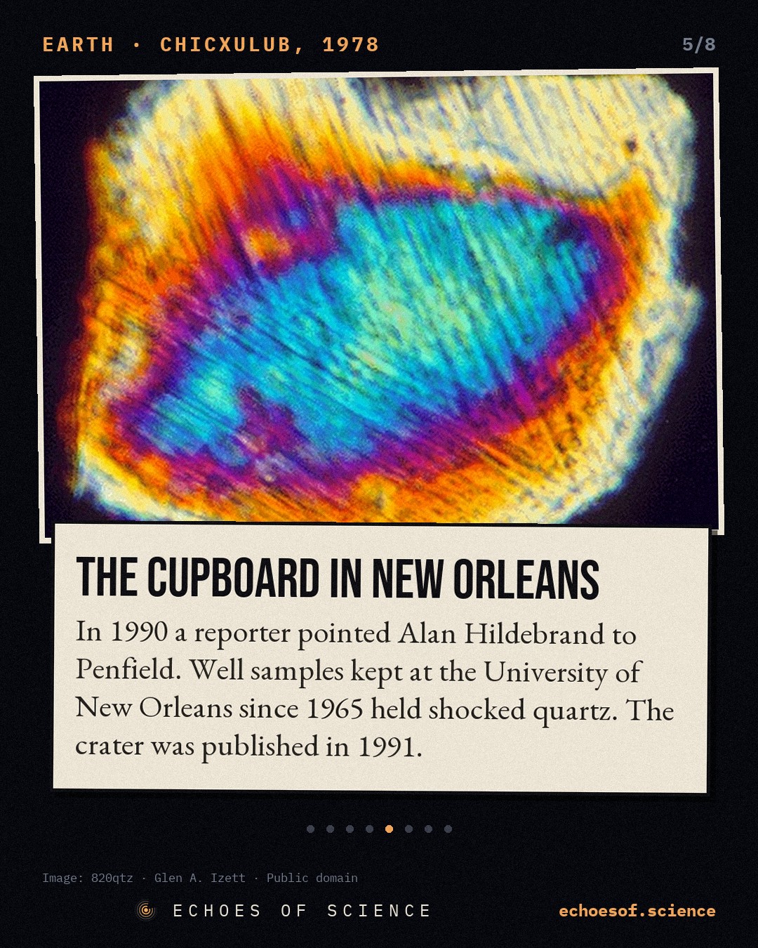
Hildebrand called Penfield. And together, they went looking for the lost rock. It turned up, through academic contacts, in a closet at the University of New Orleans, where samples from the Pemex wells had sat since 1965.
Under the microscope, Hildebrand saw it. Grains of quartz crossed by fine, parallel lines. Shocked quartz. It takes pressures of tens of thousands of atmospheres, delivered in an instant, to make it. A volcano cannot do that. A giant impact can.
They wrote it up, and the journal Nature turned the paper down. According to Penfield, one reviewer wrote:
The only thing original in this paper is the unpronounceable name, Chicxulub.
In September 1991, the journal Geology published it instead. 6 authors, Hildebrand, Penfield, and 4 colleagues, among them Antonio Camargo of Pemex. The first line was simple:
We suggest that a buried 180 km diameter circular structure on the Yucatán Peninsula, Mexico, is an impact crater.
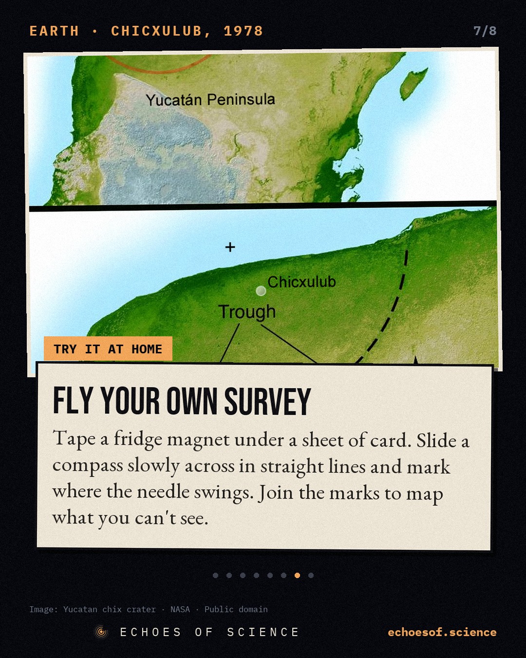
Around the same time, researchers in California, among them Kevin Pope and the Colombian-born planetary geologist Adriana Ocampo, looked at the Yucatán in satellite images. Its cenotes were not scattered at random. They formed a ring, about 165 km across, centred on Chicxulub.
For centuries, people in Yucatán had drawn their water from cenotes along that ring, never knowing what had made it.
In 1992 came the dates. Melt rock from the Chicxulub-1 well: 64.98 million years old. Glass beads blasted all the way to Beloc, in Haiti: 65.01. Virtually indistinguishable. Among the team behind those dates were 2 Mexican geologists, José Manuel Grajales-Nishimura and Esteban Cedillo-Pardo.
The Day the Sky Fell
So what happened, that day? 66 million years ago, the Yucatán lay under a shallow sea, on a thick shelf of limestone and gypsum. An asteroid around 10 km across came in from space.
In 2024, a team led by Mario Fischer-Gödde, at the University of Cologne, measured the element ruthenium in the boundary clay. Its isotopes matched carbonaceous asteroids, the kind that formed in the cold outer Solar System, beyond the orbit of Jupiter.
In tens of seconds, the impact dug a hole tens of kilometres deep. Its walls collapsed. Its floor rebounded upwards, like a splash frozen in rock, and within minutes it fell back into a ring of mountains: the peak ring. As the Mexican geophysicist Jaime Urrutia-Fucugauchi puts it, craters form in a flash.
Then the sea rushed back in. Within the first day, about 130 metres of melted and broken rock piled up on the peak ring. Above it lies a layer left by a tsunami that bounced back off the coasts of the Gulf, and above that, charcoal, from fires on land.
And something is missing from the cores: the gypsum. The target rock was rich in sulphur-bearing minerals, but almost none of it is left. It went into the sky. One estimate puts the sulphur released at around 300 billion tonnes. As tiny droplets high in the atmosphere, it would have dimmed the Sun and chilled the planet for years, perhaps decades.
On land and in the sea, about three quarters of all species disappeared. Of the dinosaurs, only the birds survived.
How Do We Know?
How sure can we be? The case rests on many lines of evidence, from many places, all pointing the same way. Iridium in the boundary layer, around the world. Shocked quartz. Glass beads and debris that grow thicker the closer you get to the Yucatán. And melt rock from the crater with the same age, the same iridium, and the same magnetic signature as the boundary itself.
Mexican scientists did much of the drilling. In the mid-1990s, the National Autonomous University of Mexico, UNAM, cored 8 boreholes in and around the crater. 3 of them reached the impact breccia. In 2001, the Yaxcopoil-1 borehole, beside an old hacienda south of Mérida, went down more than 1,500 metres.
And in 2016, Expedition 364 drilled into the peak ring from a platform off the coast, to 1,335 metres below the sea floor. Its international team included scientists from UNAM, among them Jaime Urrutia-Fucugauchi and Ligia Pérez-Cruz, with support from the state government of Yucatán.
Some questions are still open. Enormous volcanic eruptions in India, the Deccan Traps, were under way at the same time, and scientists still debate how much they added to the crisis. The crater's size depends on what you measure: the inner ring is about 180 km across, but some studies trace an outer edge near 300. And the age has been refined, to about 66.04 million years.
The Ring Today
Today, the crater still shapes daily life in Yucatán. The ring of cenotes traces a buried boundary, with broken rock on one side and unbroken rock on the other, and it steers the water underground. Where the ring meets the coast, fresh water pours out into the sea.
Since 2009, part of the ring has been protected as a wetland of international importance. The aquifer is the state's only source of drinking water, including for the capital, Mérida, where the fresh water is a layer only about 40 metres thick, resting on salt water, and threatened by sewage seeping down from above.
The crater also changed how we look at the sky. Once we knew a single asteroid could end an era, it became a hazard worth watching. In 2022, NASA's DART spacecraft hit a small asteroid called Dimorphos on purpose, and shortened its orbit by 32 minutes. It was the first time humans had deliberately changed the motion of a body in space.
And there is a lesson in where the crater was found. Not in a university, but in the files of an oil company, in maps made to find something else entirely. The evidence was there for years. It took people talking across the walls between industry and academia, and between Mexico and the rest of the world, to read it.
Antonio Camargo went on working on the crater for decades, and in 2011 he co-wrote a major review of it with Mexican colleagues. Glen Penfield liked to point out that he found it without any supercomputer, with basic tools and a pencil. A kilometre beneath the cenotes of Yucatán, the scar is still there.
The science in this story
Key facts
- In the early 1950s Pemex wells near Chicxulub (Chicxulub-1, Sacapuc-1, Yucatán-6) hit igneous-textured rock at about 1.0–1.1 km, interpreted in 1975 as a buried volcanic centre source ↗
- In 1978 Glen Penfield, quality-control geophysicist on a Pemex airborne magnetic survey, saw anomalies off Progreso grow from 2–5 nT to more than 250 nT; with 1940s onshore gravity data they formed a 180 km bullseye source ↗
- Pemex attributed the feature to volcanism and withheld specific data; Penfield and Camargo presented it at the 1981 SEG meeting, which was poorly attended because many impact experts were at the Snowbird meeting the same week source ↗
- In 1990 journalist Carlos Byars told Alan Hildebrand about the Yucatán structure; Penfield recovered well samples stored at the University of New Orleans since 1965, and Hildebrand identified shocked quartz source ↗
- Hildebrand, Penfield, Kring, Pilkington, Camargo and Boynton described the buried 180 km circular structure as an impact crater in Geology 19(9), 1991 source ↗
- In 1980 the Alvarez team reported iridium-rich clay at the Cretaceous–Tertiary boundary at Gubbio, Italy, and proposed an asteroid impact source ↗
- Melt rock from the Chicxulub-1 well dated to 64.98 ± 0.05 Ma, matching Haitian tektites at 65.01 ± 0.08 Ma (Swisher et al. 1992) source ↗
- A ring of cenotes about 165 ± 5 km across, mapped with Landsat, marks the buried rim and channels Yucatán's groundwater (Pope, Ocampo & Duller) source ↗
- Core M0077A (IODP–ICDP Expedition 364, 2016) holds about 130 m of impact melt rock and suevite deposited on the first day, topped by a tsunami layer and charcoal source ↗
In pictures
Loading the quiz…
Sources
- Hildebrand, Penfield, Kring, Pilkington, Camargo Z. & Boynton (1991), Geology 19
- G. Penfield, first-person account, AAPG Explorer
- Urrutia-Fucugauchi, Camargo-Zanoguera et al. (2011), Geofísica Internacional 50
- Alvarez et al. (1980), Science 208 · Swisher et al. (1992), Science 257
- Gulick et al. (2019), PNAS · Morgan et al. (2016), Science 354
- Pope, Ocampo & Duller (1993) · Fischer-Gödde et al. (2024), Science 385
Where every picture, clip and sound in this story comes from
Keep scrolling: more true stories ↓
New mini-documentaries every week and a true story every day. Pick where you like to watch:
▶ Subscribe on YouTube Telegram TikTok Instagram Bluesky Threads ✉ Weekly email